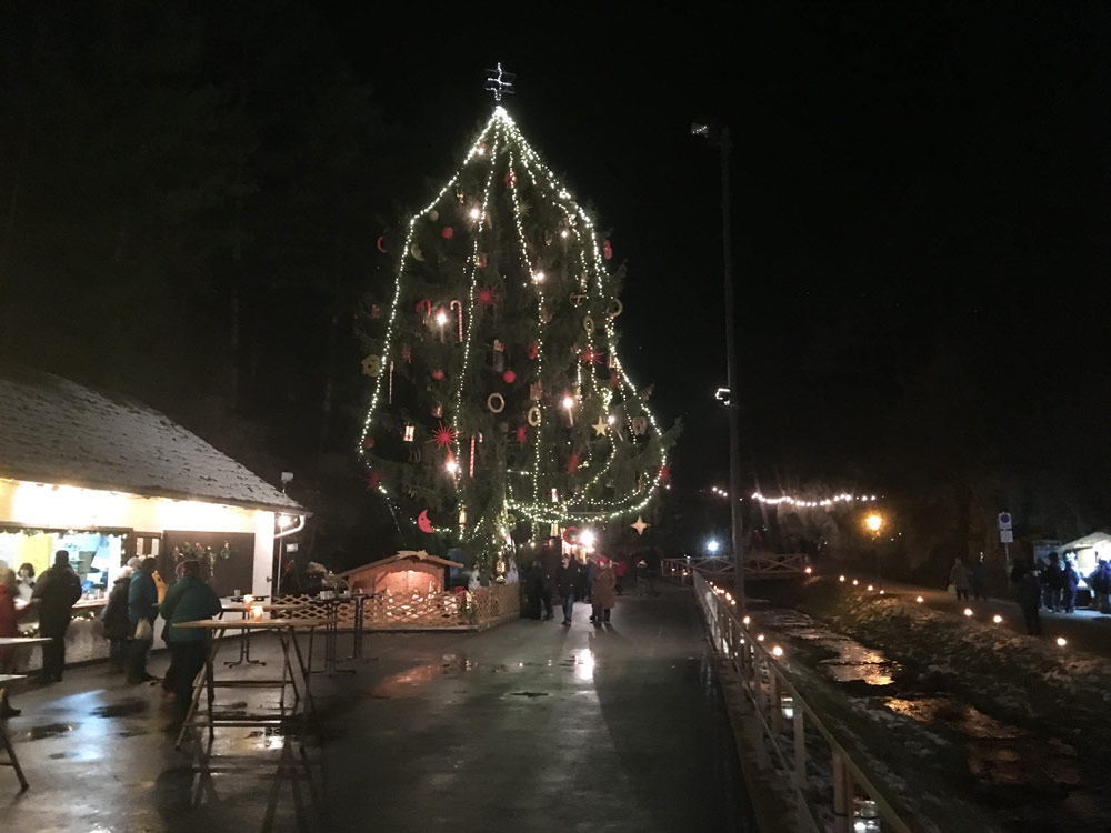
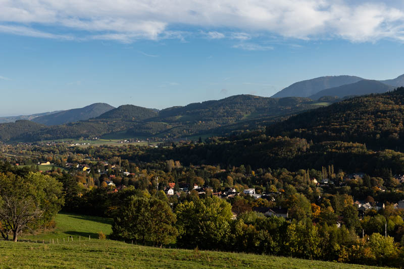
Just over an hour from Vienna, near the village of Würflach, lies a little-known treasure. Have you heard of Jochannesbachklamm? Until recently, I hadn't either. A great place for a family afternoon in beautiful, spring-scented surroundings. The gentle murmur of water combined with the melodious singing of birds creates the perfect musical backdrop for an unforgettable day! A warm April morning motivated me to head out this way and explore this interesting route again. It took millions of years of persistent work for water to create this natural wonder, 1 kilometer long and 60 meters deep. It is located between the villages of Würflach and Greith. It's near Wiener Neustadt, a peaceful hour's drive from Vienna. In 1902, the Naturfreunde association from Vienna built a system of footbridges. Thanks to this, we can easily explore the nooks and crannies of Jochannesbachklamm. Every year in December, a unique Weihnachtsmarkt (Christmas market) takes place here. That's how I first came here. A really cool event, I'll remind you at the appropriate time. It only lasts a week, so you need to stay alert. Uh, that gave me chills. Let's get back to the current season.
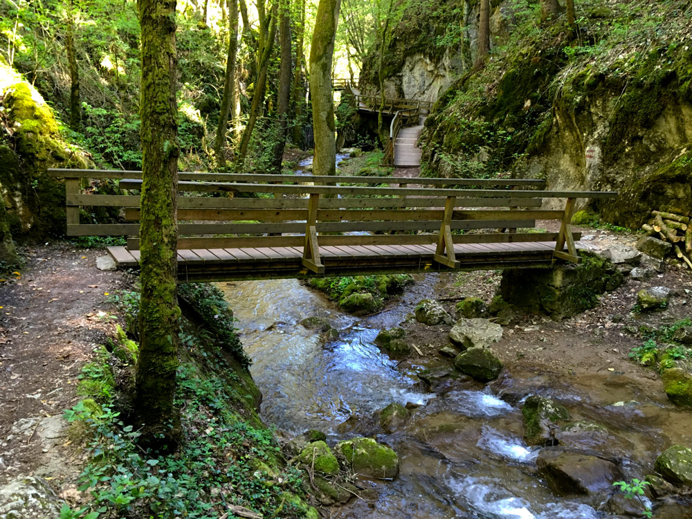
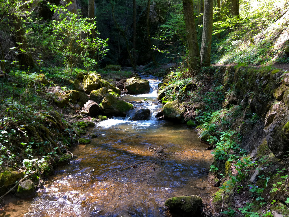
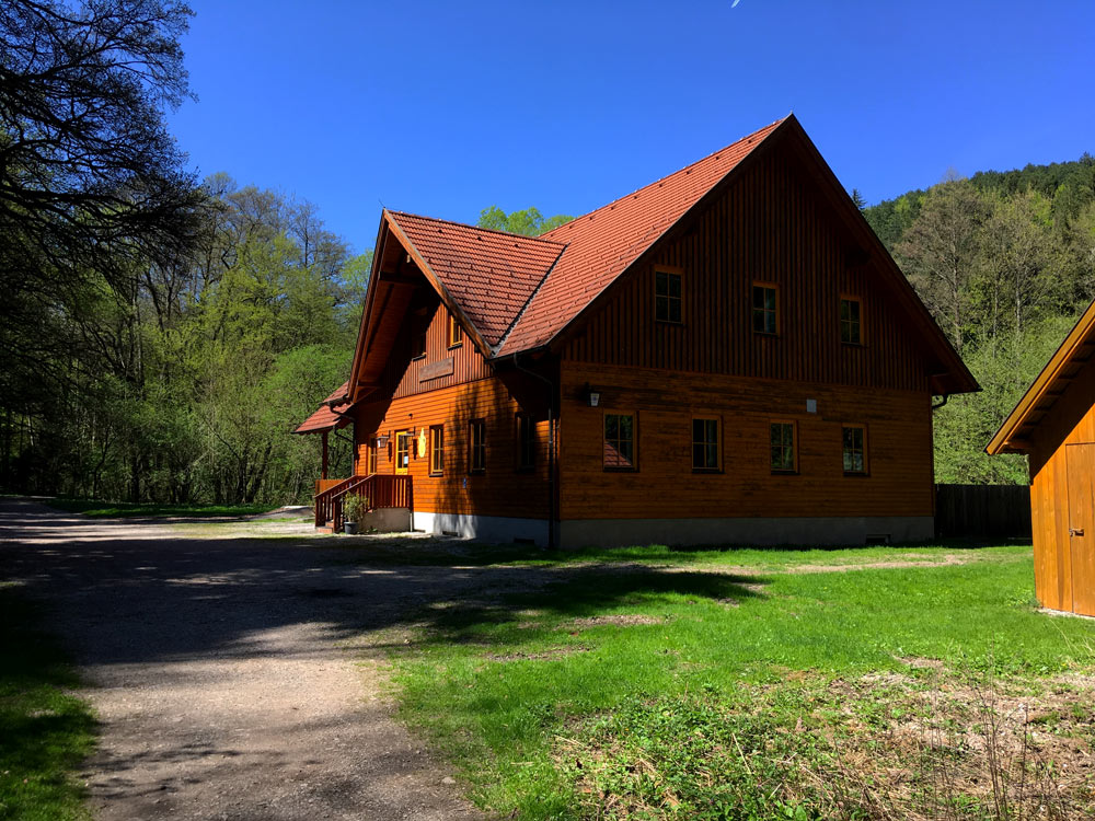
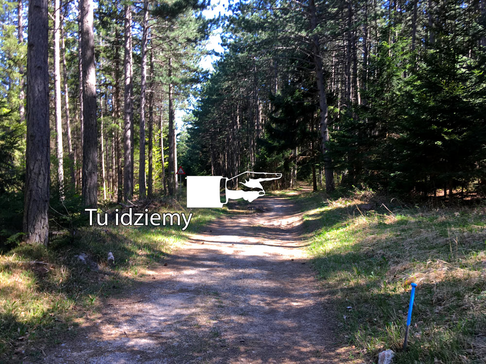
Time to hit the trail! I left my car in the parking lot right by the stream and set off at a brisk pace. At the beginning, on the left side, we see Pechierhittn, where you can grease the gears before the expedition :) As a side note, I'll add that in the Middle Ages, pitch was produced here (Pech means pitch in German) and the name of the establishment loosely translates to "pitch makers' shelter". Further on, it's just a feast for the senses, as we enter Jochannesbachklamm. A wooden footbridge leads along the gorge, in pleasant coolness and the soothing sound of water. A wealth of colors - from the early spring green of trees to the dark, deep hue of the ubiquitous moss. Unfortunately, after a delightful 15 minutes, we exit the gorge straight into the embrace of the Schutzhaus. During my expedition, it was closed (until July 1st, it's only open on Saturdays, Sundays, and holidays. During the vacation period, it's open daily). Just behind the inn, the forest begins and we have a choice. Either we head right, uphill. Here we have a total of about 6km of trail (counting from the beginning of Jochannesbachklamm). Or we continue straight ahead to the village of Greith, turn right almost to the main road, and keep to the right side towards the summit of Eichberg (590m). Here we have a total of about 11 kilometers to cover and a bit more elevation gain - about 350m. Time - a leisurely 3 hours. Due to limited time, I chose the shorter option. A very pleasant walking path leading through the forest. Cyclists would definitely find their place here too :) Don't miss the turn to the right towards Würflach. It's not clearly marked! After about 20 minutes, I reached the small town and, following the signs, headed towards the entrance to Jochannesbachklamm.
To sum up, Jochannesbachklamm is a place worth visiting. Its proximity to Vienna and low difficulty level are major advantages for families with children or older people. The interesting possibility of extension provides an option for an active day. Runners and cyclists will definitely find their place here too. Something pleasant for everyone!
This is a simplified elevation profile showing the highest and lowest points of the trail. For a detailed GPS-tracked elevation profile, please use a dedicated hiking app.