If you've been following my blog closely, you probably know that Sigmund Freud was an avid lover of mountain hiking. He enjoyed traveling to Bad Gastein and South Tyrol. However, his favorite area was Rax, located just an hour's drive from Vienna.
The Alps Within Reach Törlweg is one of the
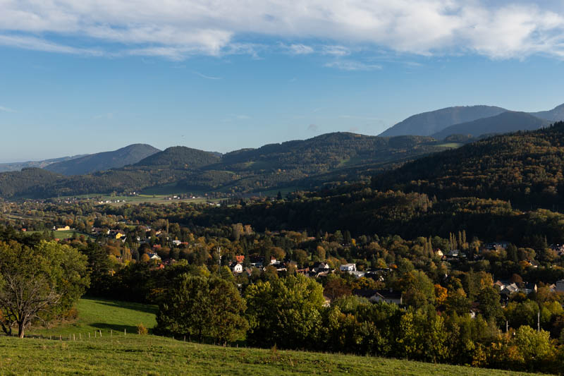
shorter trails leading to the Rax plateau. It is easily accessible for Vienna residents (both motorized and those using public transportation). If you live in southern Poland, this is also an interesting inspiration for a mountain weekend in the Alps. Just 5 hours of driving separates Rax from our southern border. Starting from the village of Edlach, you need to count on about 3 hours of hiking. However, if you're traveling by car, you can shorten the hike by an hour by parking at the Knappenhof inn.
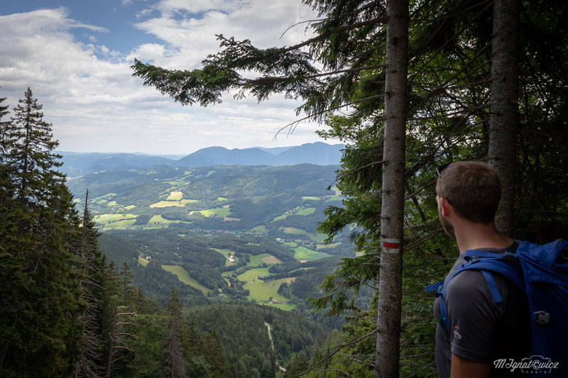
A Trail for Almost Everyone This time we had a slightly larger group with us. Our brigade consisted of 9 people in total, aged from 5 to 38 years. I was accompanied, among others, by photographer Marcin Ignatowicz, whose photos you can admire as a guest in this post. I invite you to visit the website
ignatowicz.at. Even the youngest expedition participant handled this route without problems, despite it being his first mountain trip. Some fitness will come in handy though, because 850 meters of elevation gain can be challenging.
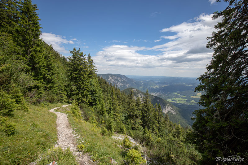
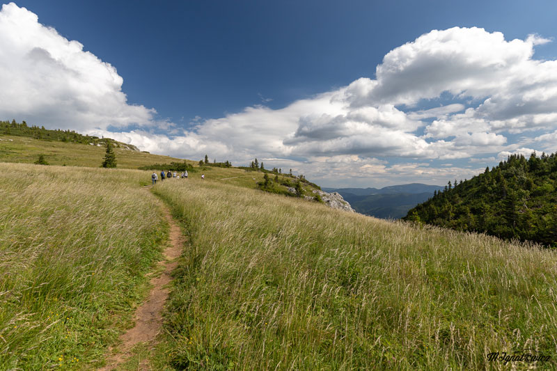
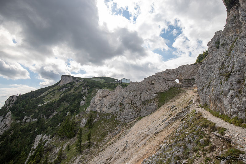
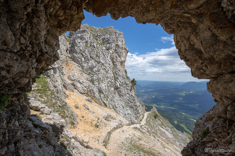
Technically, the route is very simple, it's a normal path going uphill. However, it's worth remembering to wear shoes with an appropriately thick and grippy sole - most of the route has rocky terrain, which can be uncomfortable with poorly chosen boots. At the end of the hike, beautiful views await you, as well as delicious food at Otto Haus. If you have the desire and strength, you can attempt a walk to Jakobskogel, it's only 100m of elevation gain and plenty of new views :) Around Otto Haus you'll also find an alpine garden covering several thousand square meters with 200 species of plants growing in the area.
The Birthplace of Psychoanalysis As I mentioned earlier,
Sigmund Freud was a frequent visitor to the Rax plateau. In his notes, a letter to his sister is preserved in which he sketched a hike from Prein through Schlangenweg, crossing over the top to Otto Haus and descending via the Törlweg described here. In 1893, during a visit to Otto Haus, he met Aurelia Kronich. 18-year-old Aurelia, reading the guest book, noticed that he was a doctor and asked for help with her anxiety states. It was precisely this case that was described in his works as "The Case of Katharina" and it was this case that pushed him toward further research into psychoanalysis theory.
Want More? The quickest descent to the car follows the same route, however Rax offers plenty of opportunities for
extending the hike. Everything depends on your time availability, fitness level, and expectations. You can return via the cable car station and descend via Gsolhirnsteig. This is quite an interesting loop, but you need to count on about an hour more of hiking. An interesting, longer - typically full-day alternative is a trek across the plateau and descending through Karl-Ludwig-Haus, Schlangenweg, and Prein an der Rax. If you want to spend more time in the mountains, you can go to Habsburghaus, stay there overnight and return to your car over the top. There's no shortage of possibilities on Rax :)
In Summary
Törlweg is a very interesting trail, ideal for spending a mountain day with the whole family. There are practically no technical difficulties here, but there's no shortage of beautiful views. The numerous trails on the plateau will satisfy the requirements of even seasoned mountain veterans for whom Törlweg alone is not enough. Discover the beauty of Rax!
This is a simplified elevation profile showing the highest and lowest points of the trail. For a detailed GPS-tracked elevation profile, please use a dedicated hiking app.