Family
1h 50m
6.2 km
473 - 566 m
Description
Today I have the perfect suggestion for a gentle walk in a charming setting. You'll feel the unique atmosphere of bygone times, the times of the Austro-Hungarian Empire. You'll understand why these areas flourished in the 19th century, attracting crowds of elites from Vienna, the 4th most powerful city in the world at that time. And all this with the majestic Rax towering over the area.
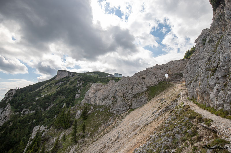
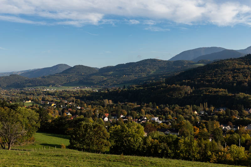
The Rax visible in the background will accompany you throughout the entire walk
This route can be shortened or extended in any way you like, there are really many possibilities - and Google Maps is all you need for planning. There are no technical difficulties, families with children and elderly people alike will manage. I walked with a stroller.
If you don't have a car, no worries! Trains run from Vienna to Reichenau every hour, and the beginning of this walk starts quite close to the train station.
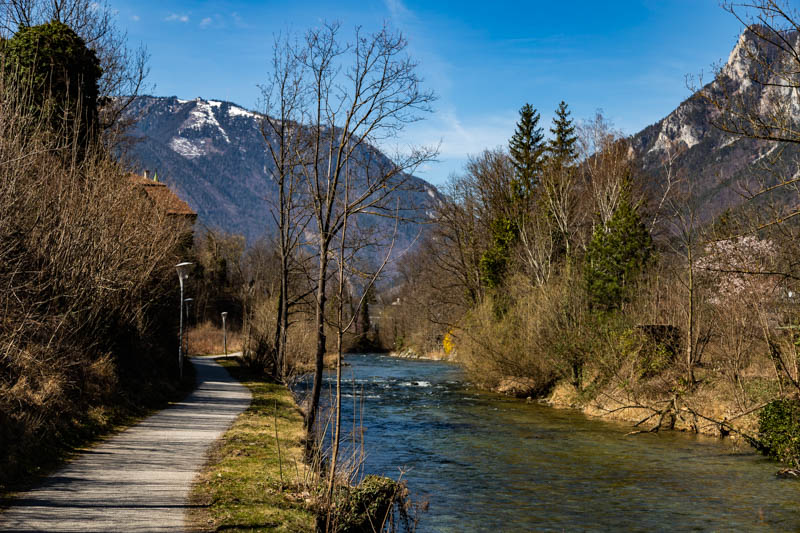
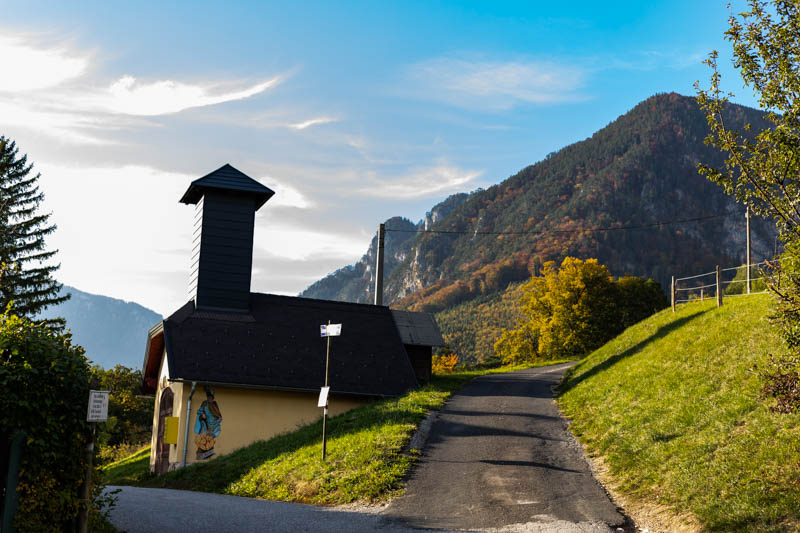
Our journey begins at the municipal office (Gemeindeamt) in Payerbach. First we walk along the beautiful Fischerpromenade along the Schwarza river towards Reichenau, when the promenade ends we cross the street (near the Billa store) and head towards Kurpark
. We walk through the park, cross the bridge over the stream behind it, then head left along it. We reach Thalhofstraße street which we follow uphill.
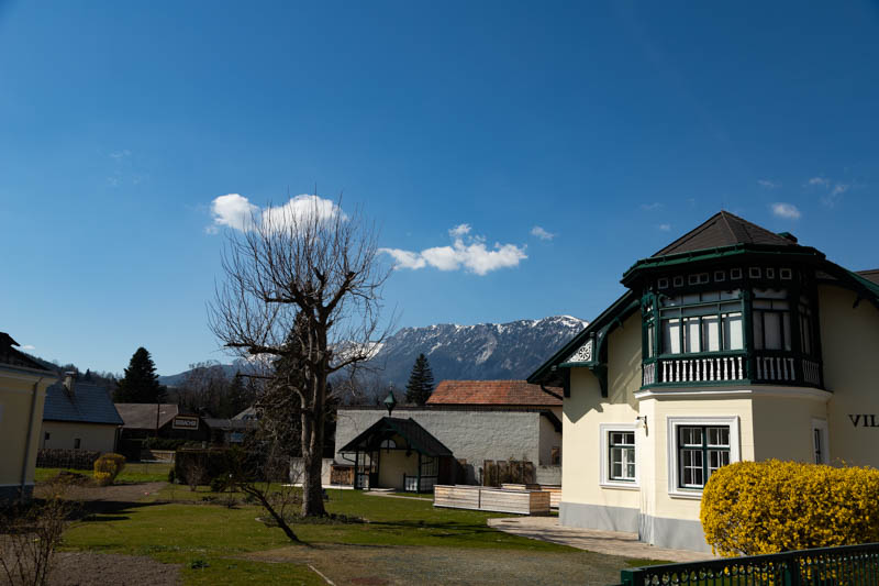
After a few minutes you'll reach the historic Rudolfsvilla palace, also called Sisi Palace (Sisi Schloss) because Princess Sisi, as well as the emperor himself, spent many summer seasons here.
Behind the palace, depending on your time and fitness, you can turn right onto Schneedörflstraße, or go uphill on Thalhofstraße to another historic place from which the street takes its name.
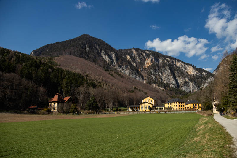
Thalhof was one of the most popular hotels in Europe in the 19th century, where the cultural and social elite of Vienna gathered. Unfortunately, it was demolished during World War II. In recent years it has been thoroughly renovated and tastefully furnished. Currently there are exclusive apartments for rent, prices start from 150 Euro per night.
If that's not enough and you want to extend the walk, instead of descending to the starting point near the station, you can continue uphill to the village of Werning and return from there to the Gemeindeamt in Payerbach.
So what do you say? There's nothing left but to get in the car and set off to discover historical magic in a mountain atmosphere!
Here you have the route posted on www.outdooractive.com.
Photo Gallery
widok na Payerbach
widok na Reichenau z Rax'em w tle.
IMG_3549-1.jpg
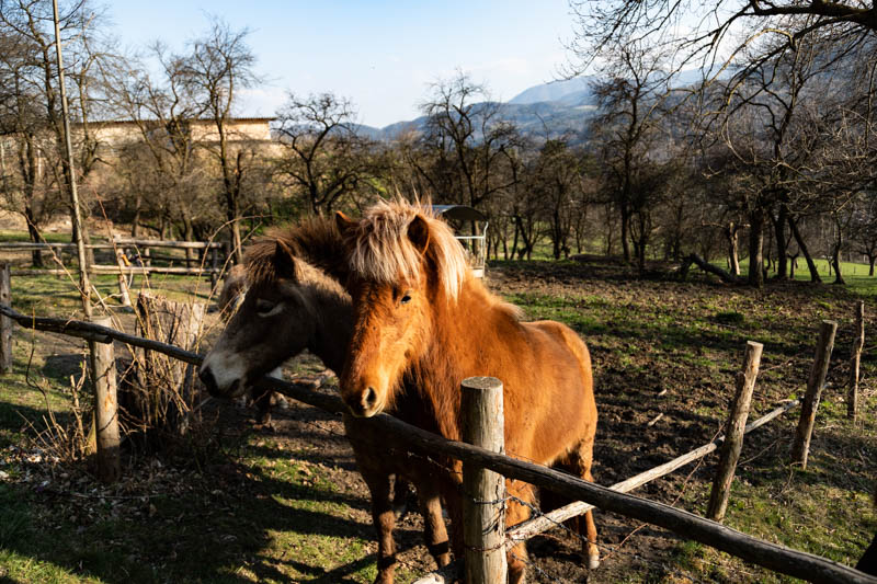
konie
widok na kompleks apartamentów Thalhof
końcowa część trasy
alpejska polana
Technical Specifications
| Difficulty | Family |
|---|---|
| Duration | 1h 50m |
| Length | 6.20 km |
| Ascent | 93 m |
| Descent | 93 m |
| Highest Point | 566 m |
|---|---|
| Lowest Point | 473 m |
| Region | Niederösterreich |
| Country | AT |
Coordinates
Starting Point
Latitude: 47.692057
Longitude: 15.863013
Ending Point
Latitude: 47.692057
Longitude: 15.863013
Trail Location
Elevation Profile
93 m
Total Ascent93 m
Total Descent566 m
Highest Point473 m
Lowest Point
This is a simplified elevation profile showing the highest and lowest points of the trail. For a detailed GPS-tracked elevation profile, please use a dedicated hiking app.